This post will lack deep thoughts and inspiration. But, I will include some photos. This may be a refreshing change
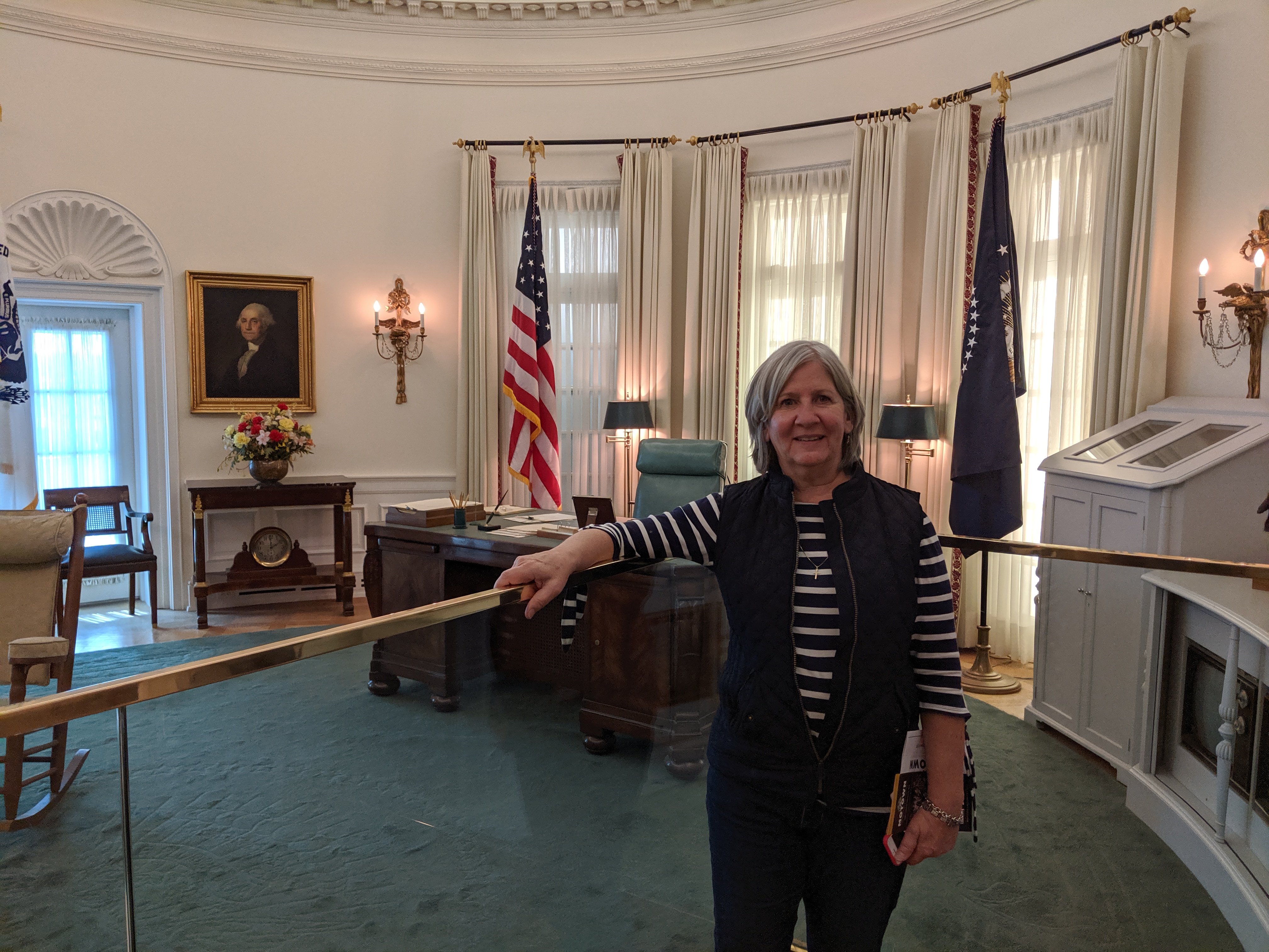
In Dallas, as an afterthought, went to the George W Bush Library. It proved to be a fun experience. We got a good, yet sanitized, look at the second President Bush’s presidency. A look at the times as well as the policies and challenges. And, we got our pictures taken at his desk in the reproduction of the Oval Office.

The Bush Library was so much fun that we went to the LBJ Library when we got to Austin. We had a special treat there as there was an exhibit dedicated to Motown Records. Very interactive and fun.
In the LBJ Library you cannot sit behind his desk in the Oval Office. For some reason it is pointed out several times during the narration that this Oval Office is 1/8 smaller than the original. I didn’t really see a difference.
The library is great although sanitized. I have always taken the position that although JFK got the Lion’s share of credit for civil rights legislation, it was LBJ that made it happen.
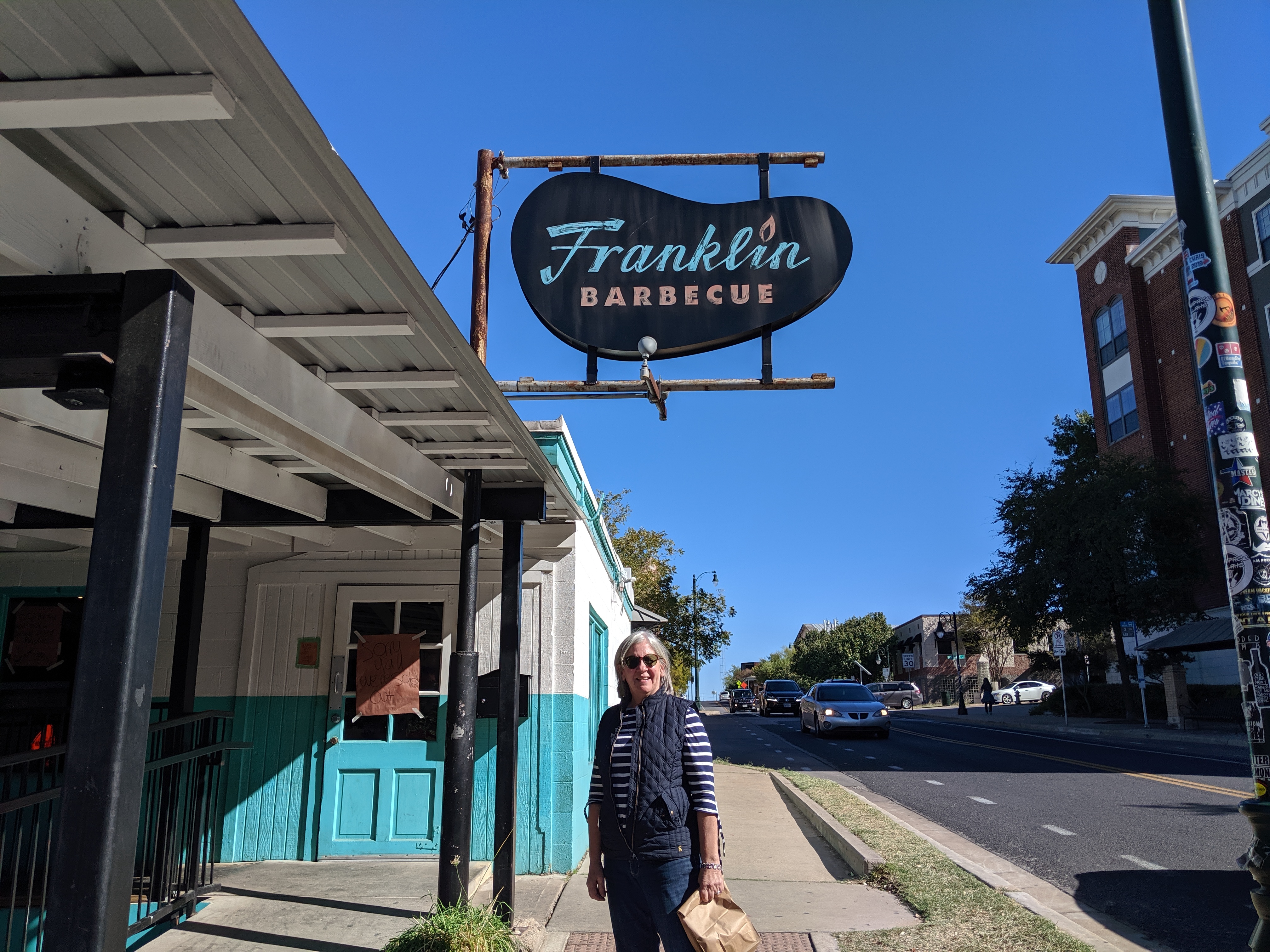
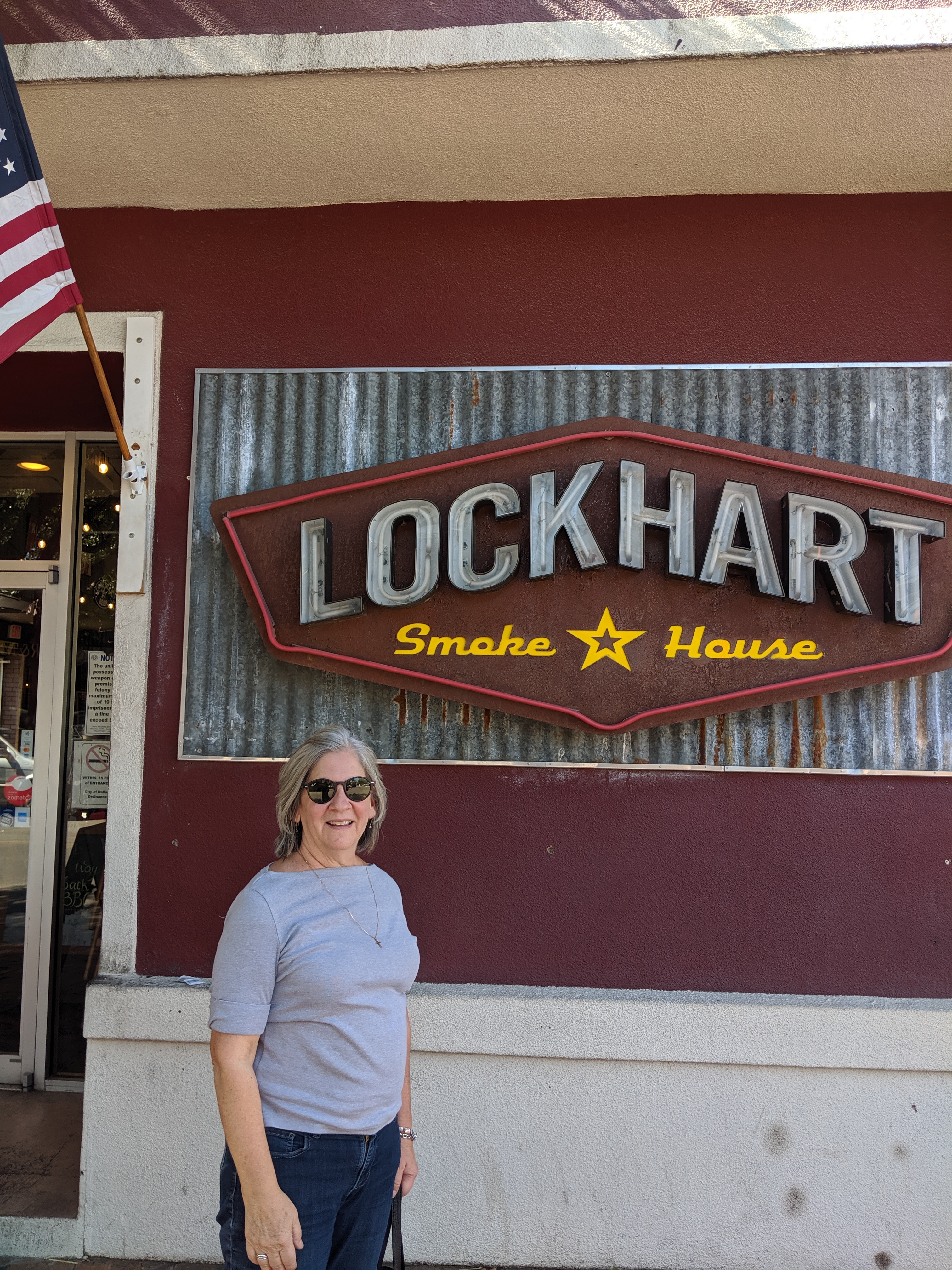
Now on to BBQ. I should change the title of this blog to “Eating across Texas”. The BBQ has been great but the breakfasts have been stellar. We had BBQ at the legendary Lockhart Smoke House in Dallas. And, would you believe? we got into Franklin’s in Austin. At Franklin’s we were told that they were out of sausage when we ordered, settled on a pound of brisket with all the sides. We were eating after the closing time and a staff member said that they had extra sausage. We took a free link. The four people next to us had a pound of brisket, a pound of turkey and it looked like two pounds of pulled pork. They took four links. Wow! Well, our assessment was that Lockhart’s was a winner.
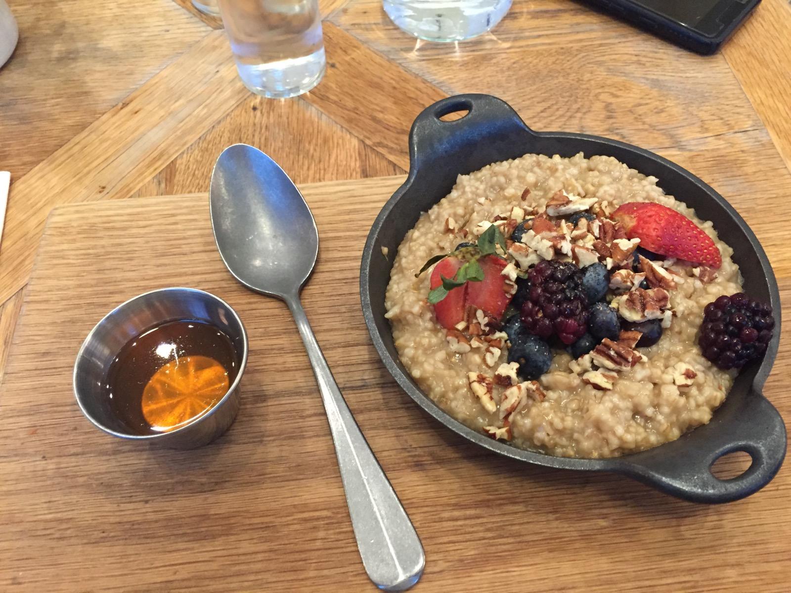
The best meals we had in Texas has been breakfast.
We had a great breakfast with my High School friend, Sam and his wife Eileen.
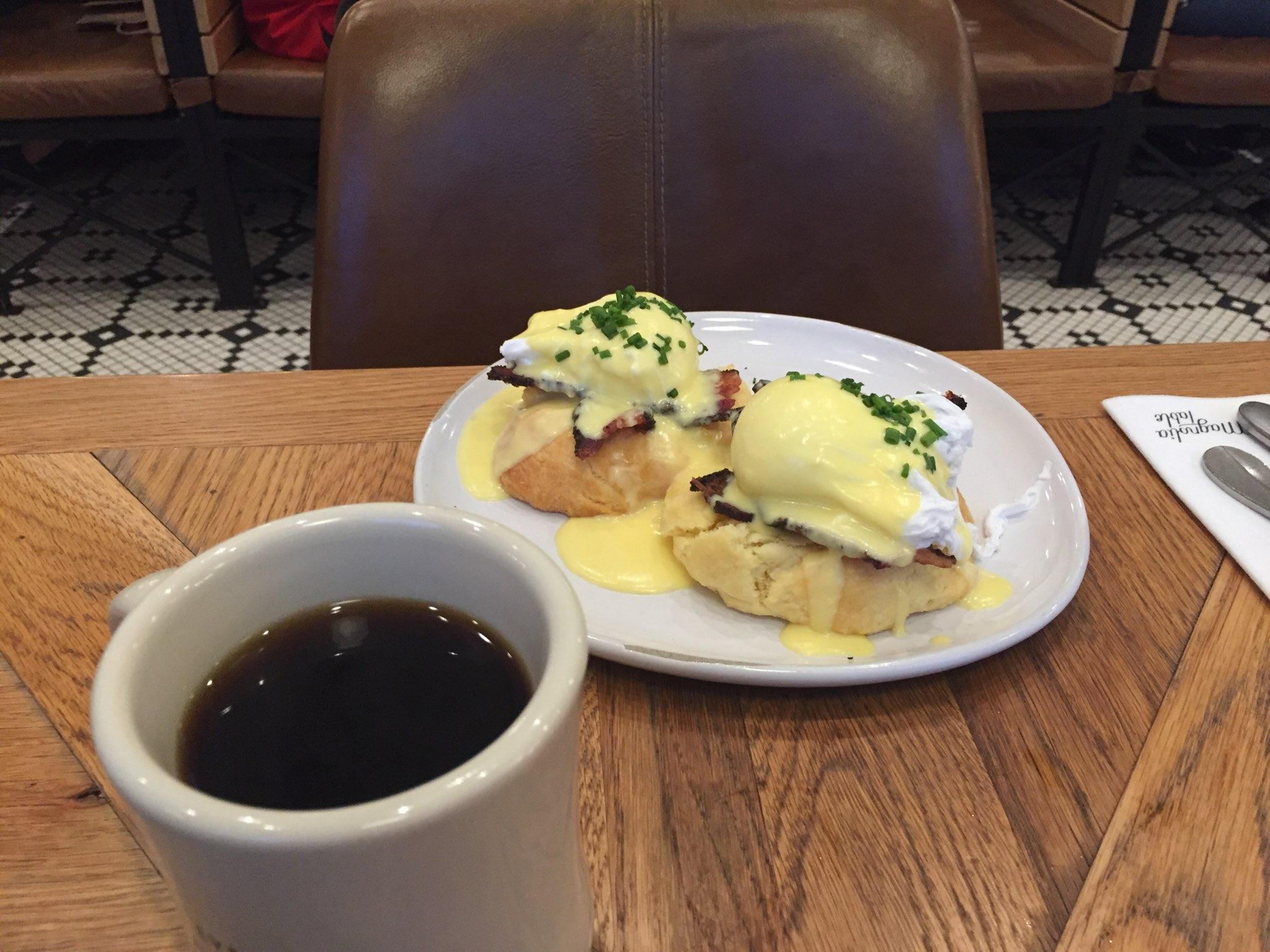
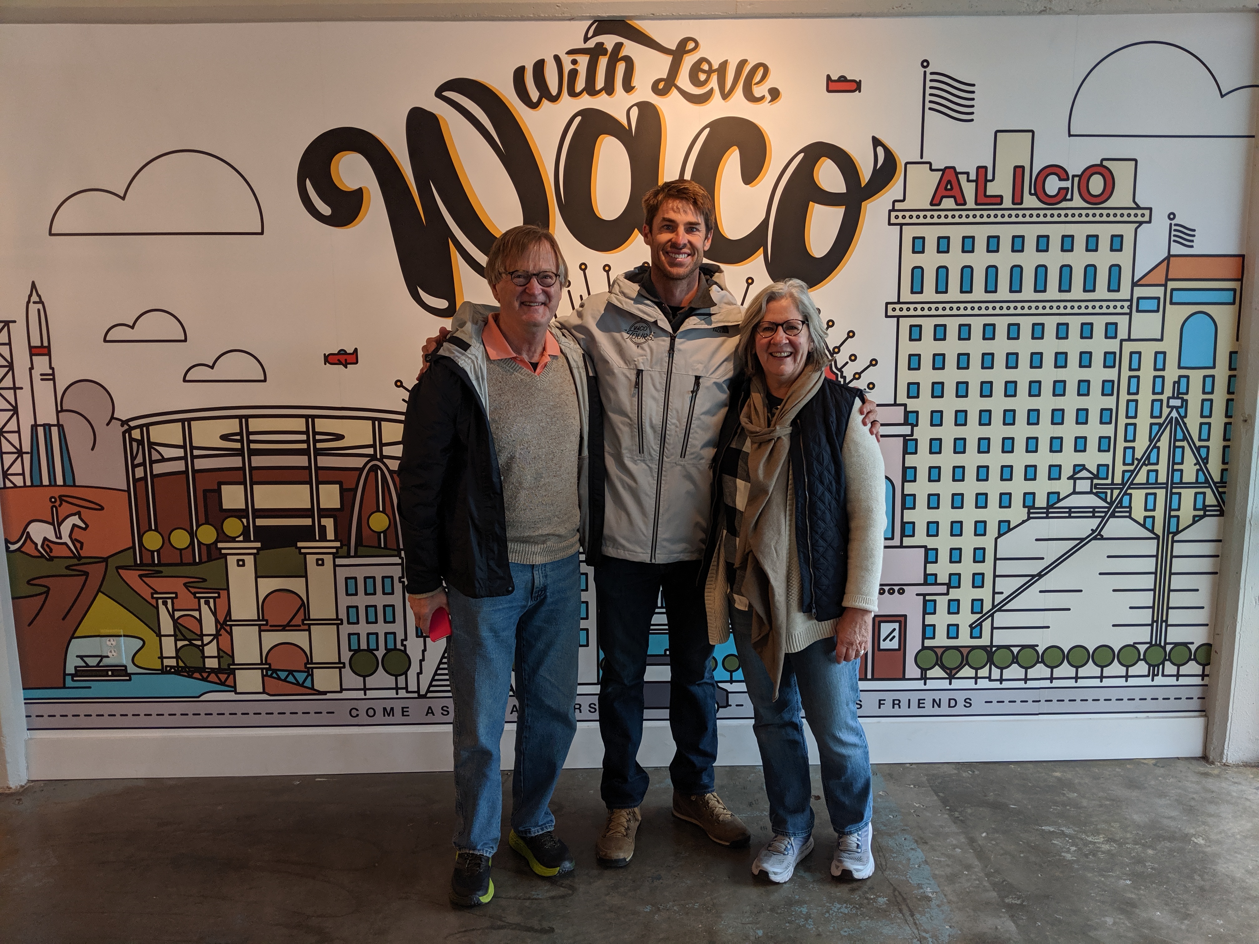
The next day we made it to Waco to have a great breakfast at the Magnolia Table. Anyone who watches “Fixer Upper” knows about this place. We were really fortunate that we arrived early and got a table. When we left there was a long line.
While in Waco we did a tour. Again, only of interest to those that follow “Fixer Upper” and the associated Chip and Johanna Gaines. For those that follow, do you recognize the fellow in the center?
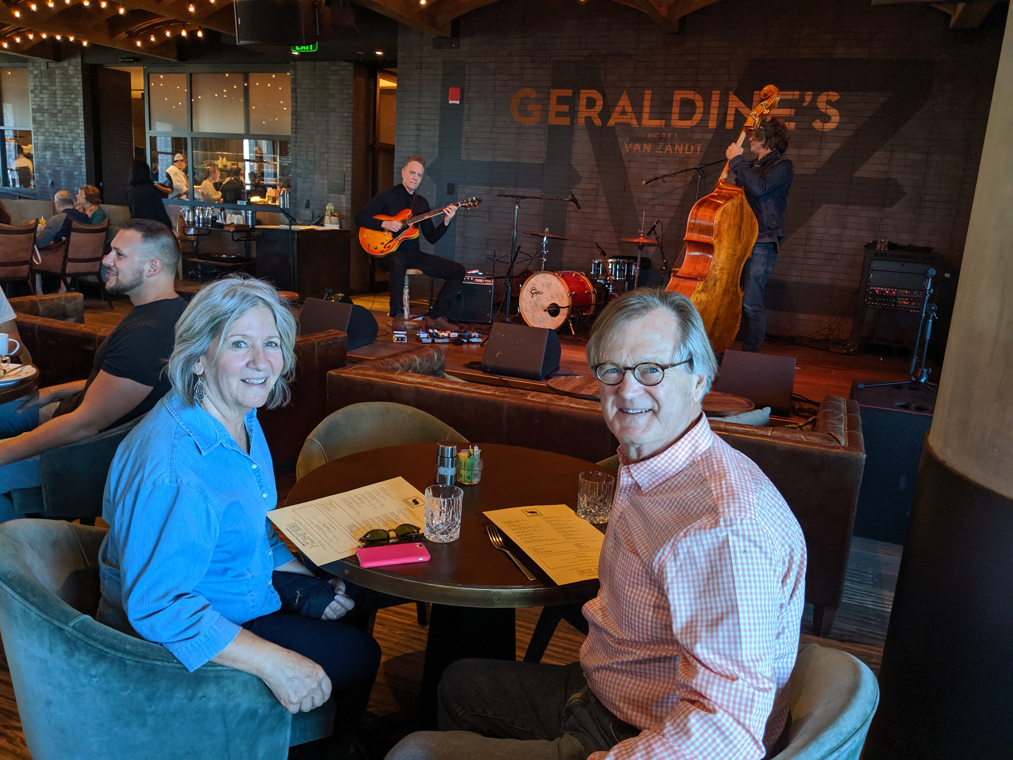
In Austin we went to a place that had brunch with Jazz.
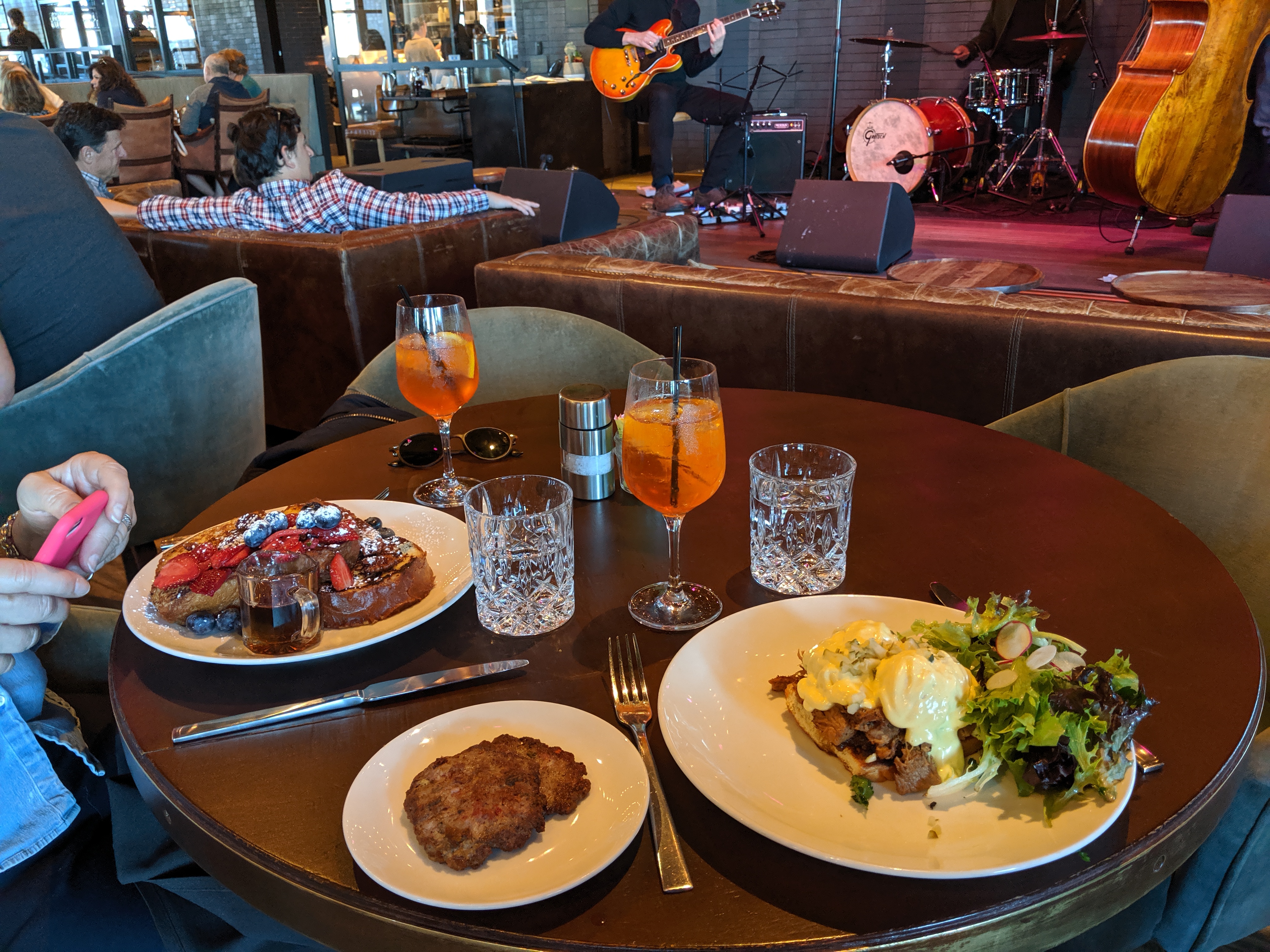
And, yes, with a nod to Rome we had Aperol Spritzers. I am the one going nuts over variations on Eggs Benedict. With a biscuit in Waco and Cuban in Austin.
Does anyone care at all what we are eating? I truly doubt it. But, I have noticed that the thing to do is to photograph food.